Religious Institutions
Community Buildings
Two cemeteries in Bocki
Bocki 1 (The old one based on Jewishgen: US Commission No. POCE000138)
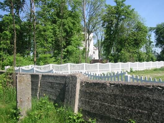 Old cemetery near the Catholic church. 1991 population: 1,000 to 5,000.
The cemetery was established in 1648 with the last known burial in the late 19th century.
Jews from Bransk, Bielsk Podlaski, Milejczyce, Kleszczele (19th century), all less than 20
km away, used this cemetery. This isolated, urban flat land has no sign or marker. Reached
by turning off a public road, a broken masonry wall with no gate surrounds the 0.2 hectares,
reduced from pre-World War II size of 1.6 hectares. Between 1 and 20 19th century, rough
slate gravestones, with less than 25% toppled or broken, have Hebrew inscriptions. The oldest
known gravestone dates from 1870. The municipality owns the site adjacent to the Catholic
parish church and uses it for lime storage and waste dump. The cemetery is completely
destroyed by the pollution of lime storage and an adjacent factory. The last stones were
stolen. Private visitors rarely visit the completely destroyed cemetery. There are no structures.
Tomasz Wisniewski, Bialystok, ulica Bema 95/99, tel. 212-96 visited site five times between
1984 and 1991 and completed survey Aug. 9, 1991. He interviewed Jan Tyskiewicz
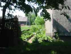 (Based on my experience of the ways to get to cemeteries after visiting there on May 2005):
Bocki 1 is close to the church, which is on the east side of road 19. Walking around church heading
east, circling it , the cemetery is about 50 yards south east from it. It was the older cemetery and
it is surrounded with brick and cement wall 0.5-1.5 yards high. Most of the area is covered with two
apartment buildings, also some small stores and a road that comes in from the south. There is no
existing wall into the area of the cemetery from south. One can get to the place by car: turn east
from road 19 to Zalonska st. (100 m south from the church) and then turn left (north) next to house
no. 12.
 The north part of the cemetery is about 20 by 50 yards and 2 meters higher than the floor level of the
buildings. It may be the original ground level of the old cemetery.
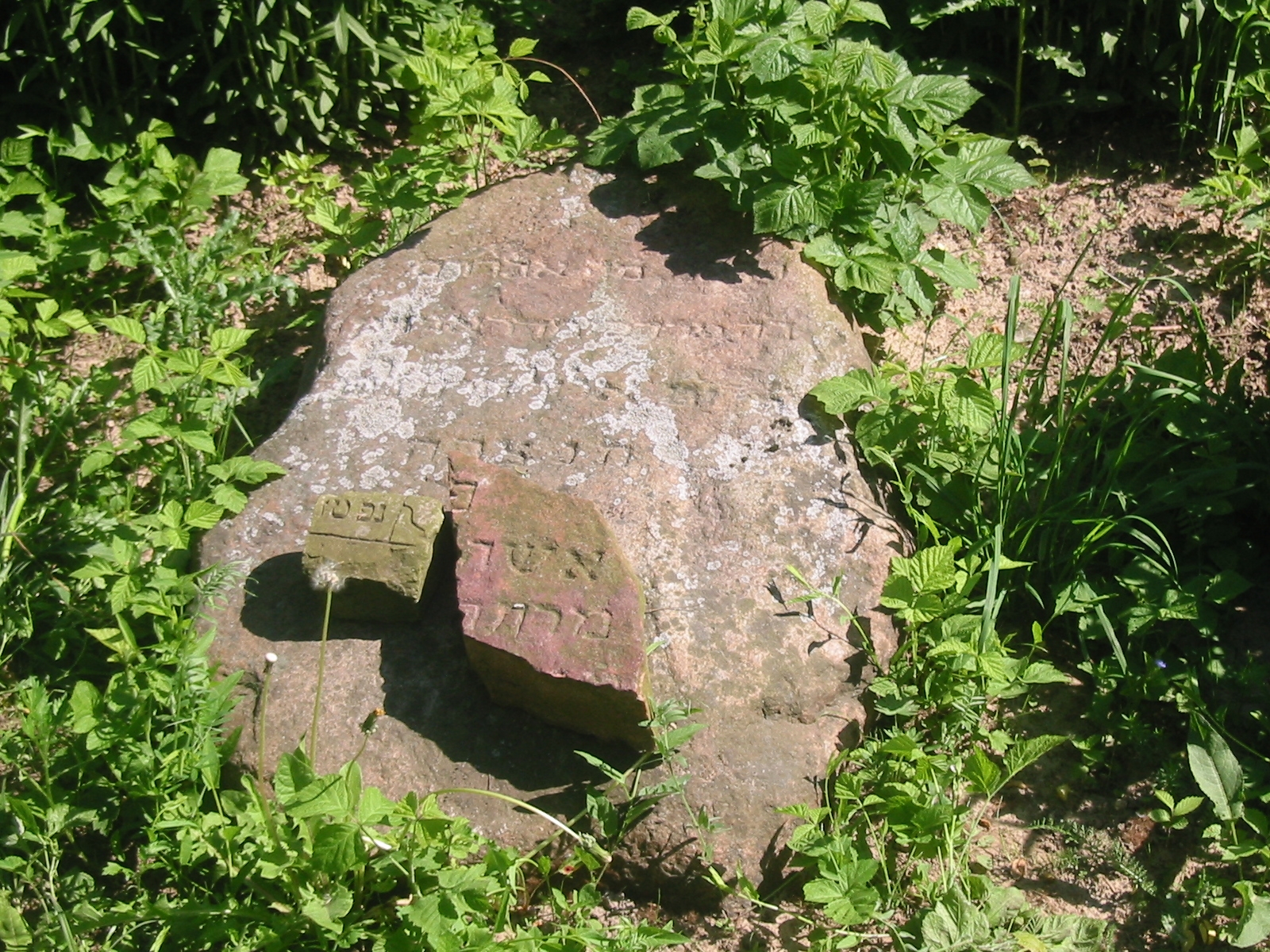
Only one stone remained, not in original place and surrounded with little stones.
Another stone- big and heavy could be a different type of tombstone but we couldn't roll it to see.
The only name I could get was on the single stone and it was: Abraham son of
Mordechay from Drohicyn ( a town- about 20 miles from Bocki) passed 18 Elul 1848.
Bocki 2 (The new one based on Jewishgen: US Commission No. POCE000139)
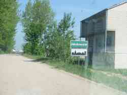 This site is the "new" cemetery on the road to Dolbowo. The Orthodox and Conservative cemetery was
established in the late 19th or 20th century with the last known burial in 1944. This isolated, suburban
hillside has no sign, marker, fence, wall, or gate and is reached by turning directly off a public road.
The cemetery was 1.0 hectare before WWII; the size is now 0.2 hectares. Between 1 and 20 gravestones in
original locations with less than 25% of these toppled or broken date from around 1890 to 20th century.
The rough slate and concrete (cement) tombstones have Hebrew inscriptions. The municipality currently
uses the site for agriculture (crops or animal grazing.) Adjacent property is agricultural. Rarely,
private visitors stop. There is no care. The cemetery is completely destroyed. For survey information,
see Bocki I.
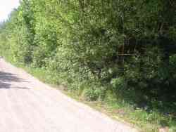 (Based on my experience of the ways to get to cemeteries after visiting there on May 2005):
Driving north on road 19, in Bocki there will be a sign in the left side of the road Solniki 3 KM (white
on green). It is still south from the church. We turned left and headed west on that street: Ul. Zarzecka.
After less than 1 mile, we got to a Y junction with a green sign: Jakubowskie 1 km (turn right). After
taking the right turn a grove can be seen after 100 yards on the left side.
No visible fence or wall, only a small area covered with bushes and trees--less than 1 acre. This is
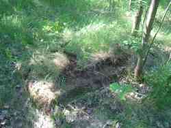
Bocki 2 or what is left of it. After searching for some time I found one rectangle shape little higher
than the surface with two parallel shapes slightly higher than the ground. It was, as I believe the last
tombstone of that cemetery. After moving away soil grass and leafs I found a rectangle cement tombstone
(the horizontal part of course) there was no name to try to read.
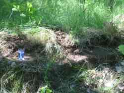
While searching the web on 2012 I was excited to find a photo taken 2 years later of the memorial candle that I left there. You can clearly notice the IDF logo on the candle.
Note: "Beit Midrash" - A place to sit and learn the Holy books. It was already there in early 18th century (according to the old "Pinkas" of the commnity, No photo of it as far as I know.)
Photos of Bocki Cemeteries - in Bagnowka Website
Cemetery info in Tomek Wishniewski website
Cemeteries
Community buildings
The Synagogue
The first wooden synagogue was built in the town in 17th century, the new brick synagogue, was built in 1807. Both were destroyed during the World War 2.
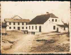
The Mikveh
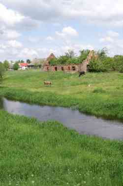
The Mikveh (Ritual Bath) ruins of the eighteenth century, rising on the banks of the river flowing Nurzec.
