Maps gallery1841 Masterplan
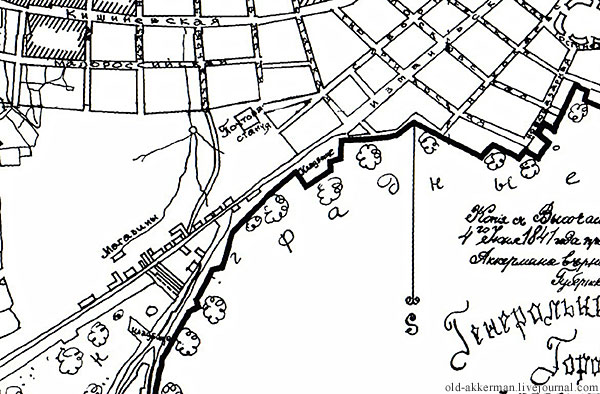
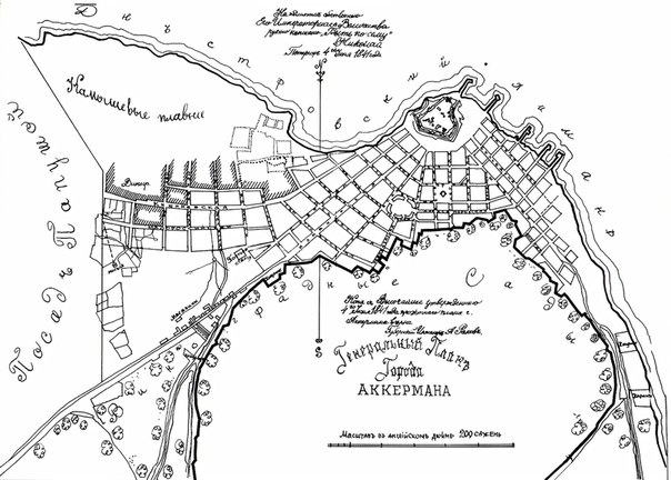
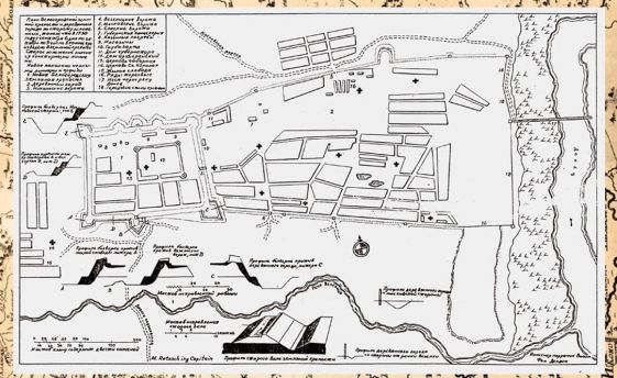
The first Akkerman Master Plan, compiled in 1841 shows a city cemetery on Ismail...
[more]
| Akkerman Masterplan 1841
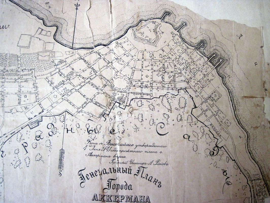
1000x800 | Akkerman Masterplan 1841
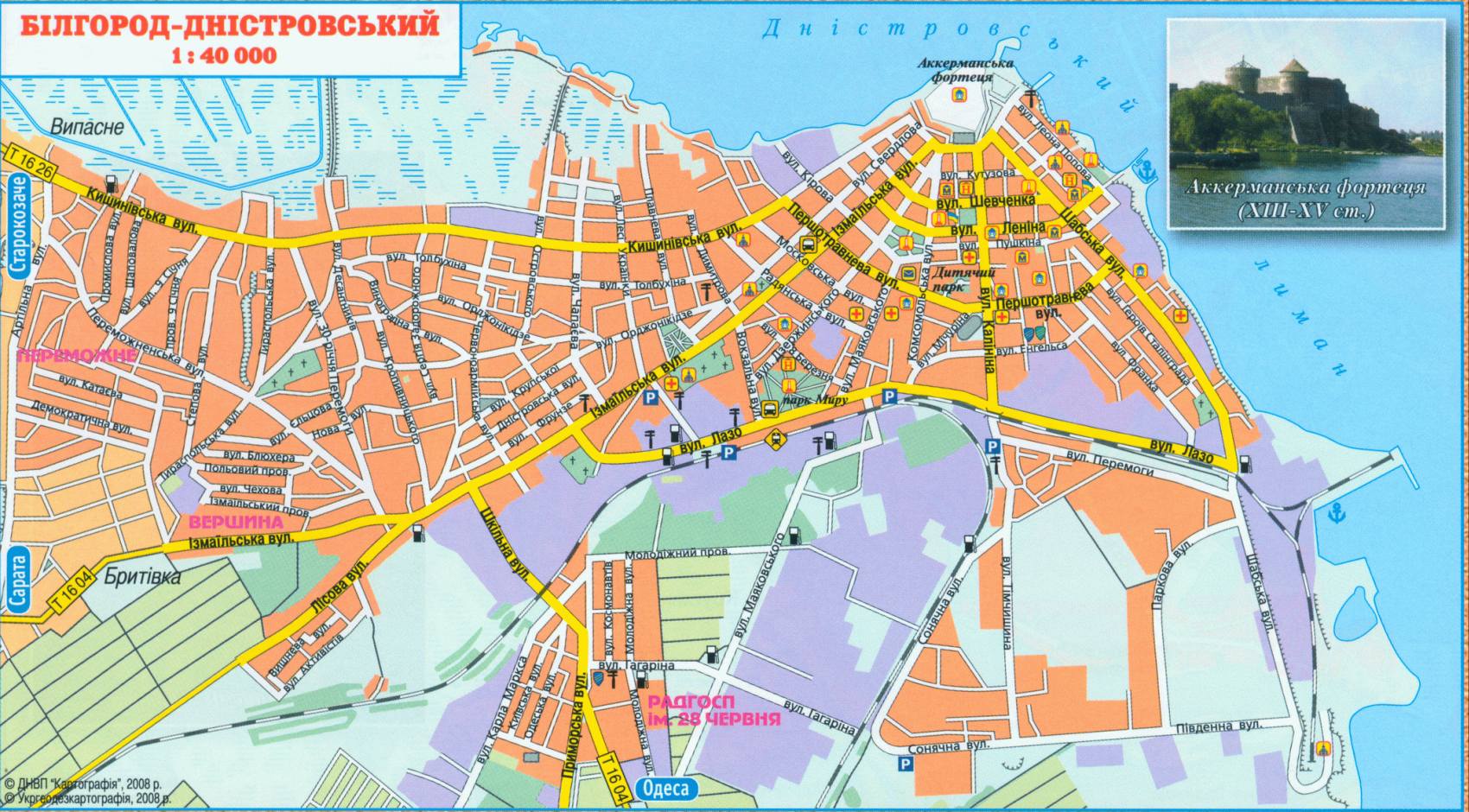
600x400 | | Bilhorod Map
| Aerial view of the Jewish Cemetery
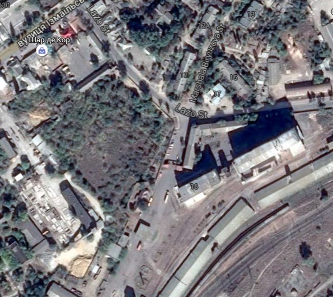
Aerial view of the jewish cemetery on the crossings of Lazo and Marshala Biryuzo...
[more]
| Map 1917
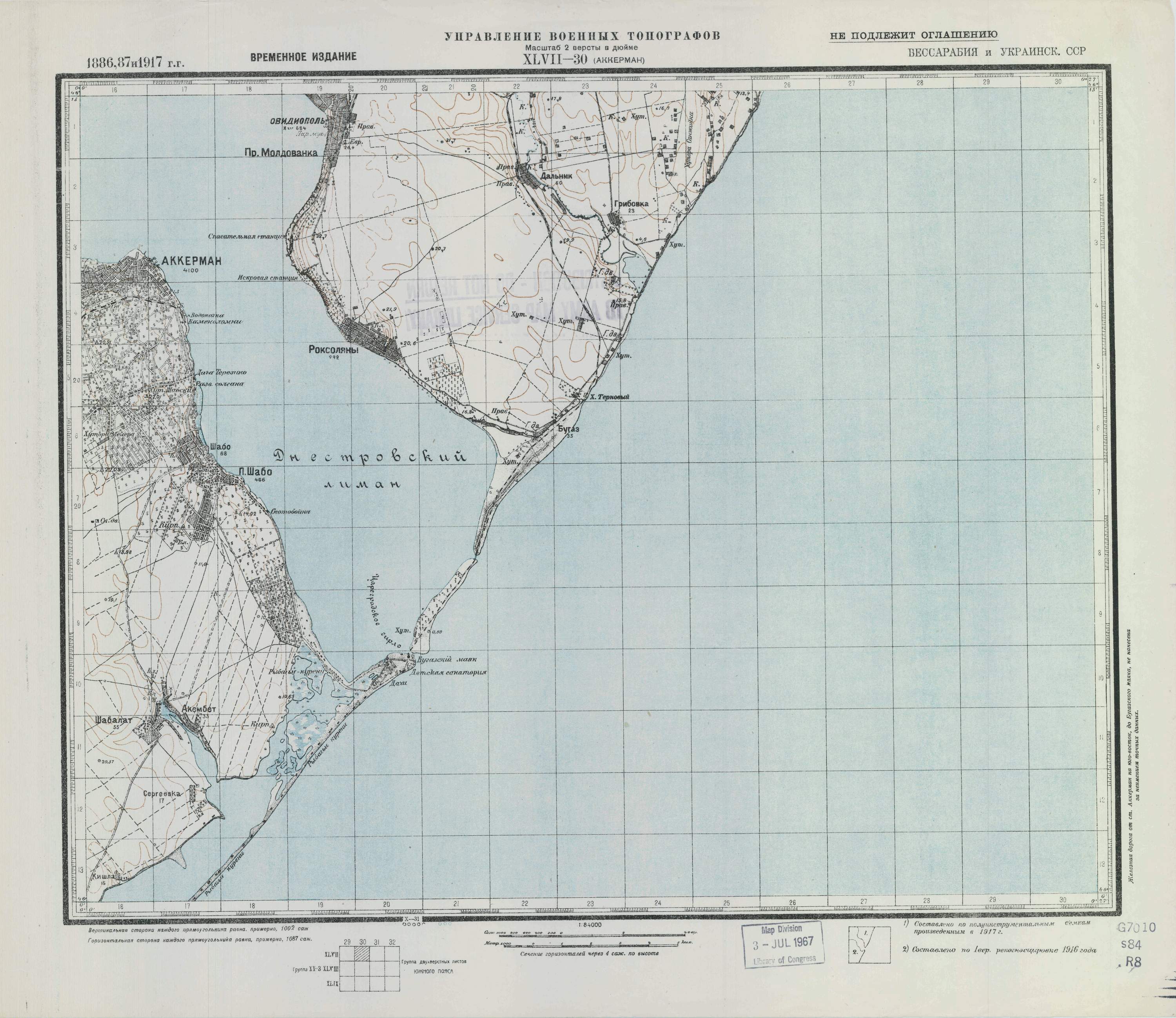
Source: easteurotopo.org | | Old Map 1
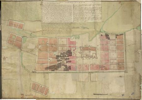
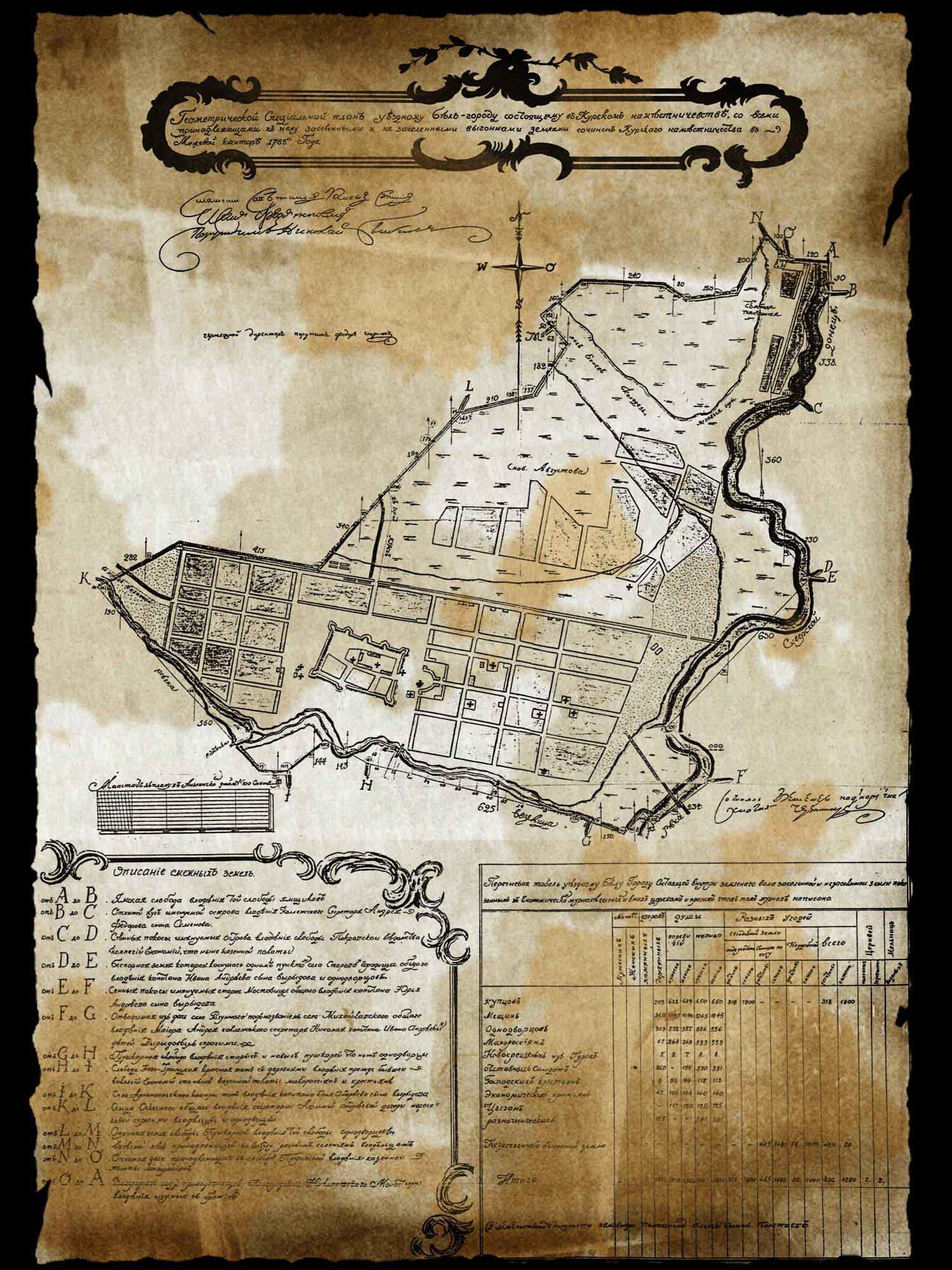
| Old map 1785
| Old Map 2
|
<< Previous - 1 2 - Next >>
|